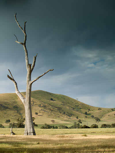


Pyrenees

typical rolling hills of the Pyrenees wine district in
central west Victoria

this map is via direct link to the tourism
website - I'm sure they won't mind me promoting it.
all images on this website are copyright Gary Ayton 2006 (except the above
map)
The Pyrenees:
- Pyrenee grazing and winery region with its
signature grape being the Shiraz
- although vineyards were 1st grown in late 1800's, the
depressions of the 1890's and 1930's together with the 2 world
wars largely over-ride wine making until the 1960's.
- pleasant rural drive through rolling hills between the Pyrenee
Range to the north and Mt Cole State Forest to the south
- from Avoca, you can continue east through Maryborough and then
onto Castlemaine
- gold was 1st discovered in Victoria in 1849 in the Pyrenee Ranges sparking
Victoria's great gold rush of the 1850's.
- most wineries are open for visitors 10am-4.30pm
- accommodation:
- wineries:
- other:
- Mt Lonarch Gallery - manufacturers of hand-painted fine bone china
-
Avoca:
- Thomas Mitchell was the 1st European in the area and gave it
the name in 1836 after a river in Ireland.
- discovery of gold nearby in 1852 drove its development.
Moonambel:
- NW of Avoca, and the main winery centre.
Dunolly:
- historic gold mining region
Maryborough:
North:
East:
South:
- Beaufort:
- small town on the Western Highway, 30min west of Ballarat
- Mt Cole State Forest:
- 25km NW of Beaufort
- camping, bushwalking (watch out for snakes!)
- Mt Buangor State Park:
- Ballarat
West:

