My rental car road trip exploring South Australia having left the lovely beaches of Port Noarlunga and heading north, through the Clare Valley vineyard region and the photogenic old copper mining town of Burra, I now head back towards the coast and the rather isolated Mt Remarkable National Park which forms part of the Southern Flinders Ranges – a range of sedimentary rock formed 600 million years ago and uplifted some 540 million years ago to form the line of mountains extending south through the Adelaide Hills (composed of folded and faulted sediments of the Adelaide Geosyncline) and even to Antarctica when it was joined to Australia.
There are three main entrance points into the Mt Remarkable NP and be aware you need to pay ONLINE an entry fee BEFORE going:
- summit walk from the adjacent town of Melrose
- walks in the Alligator Gorge via bitumen access road from Wilmington in the north
- walks in Mambray Creek region via bitumen access from the Stuart Highway near Port Germein.
The following photographs were nearly all taken with the Olympus OM-D E-M1 Micro Four Thirds camera with the Olympus mZD 12-40mm f/2.8 lens:
Stone Hut region:
I chose to stay in a cottage in Stone Hut as it was 1hr drive to Alligator Gorge and also to Mambray Creek and thus it would mean I could do walks in both as a single day trip in a round circuit.
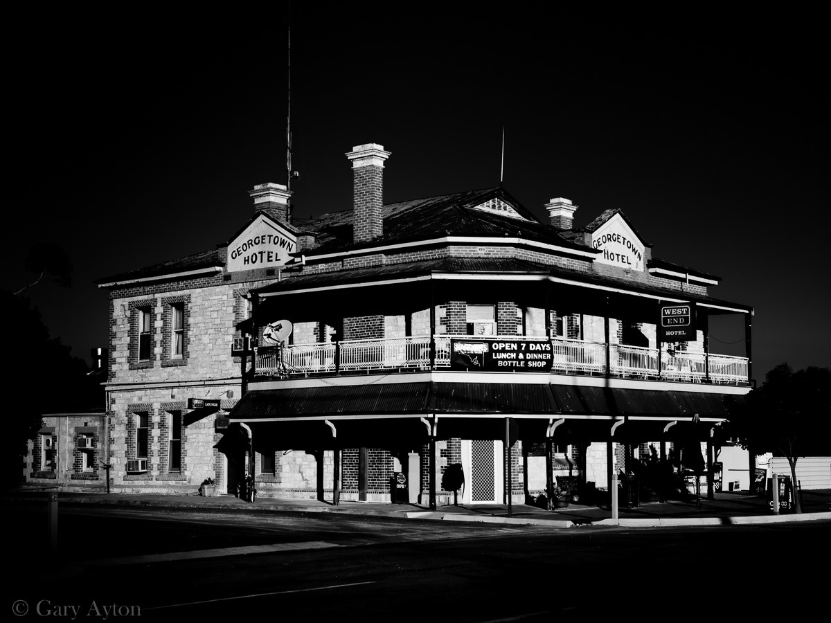
Georgetown Hotel just south of Stone Hut:
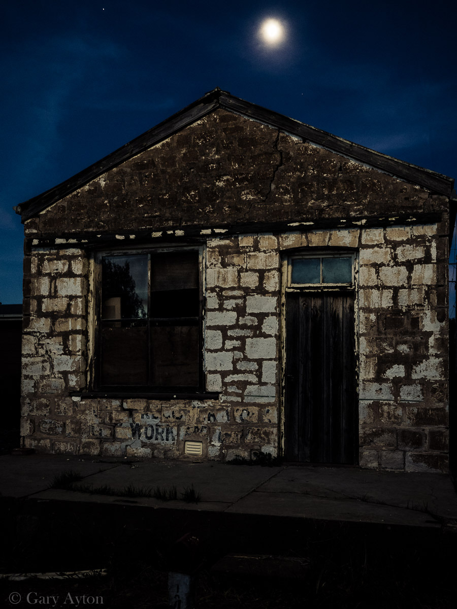
This is not the cottage I stayed in but shows what the Olympus OM-D E-M1 can do hand held at 1/6th sec in street light well after dusk:
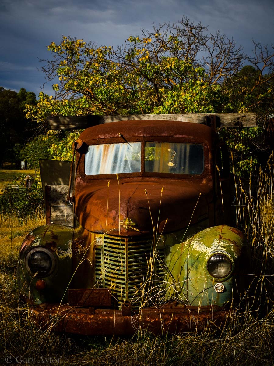
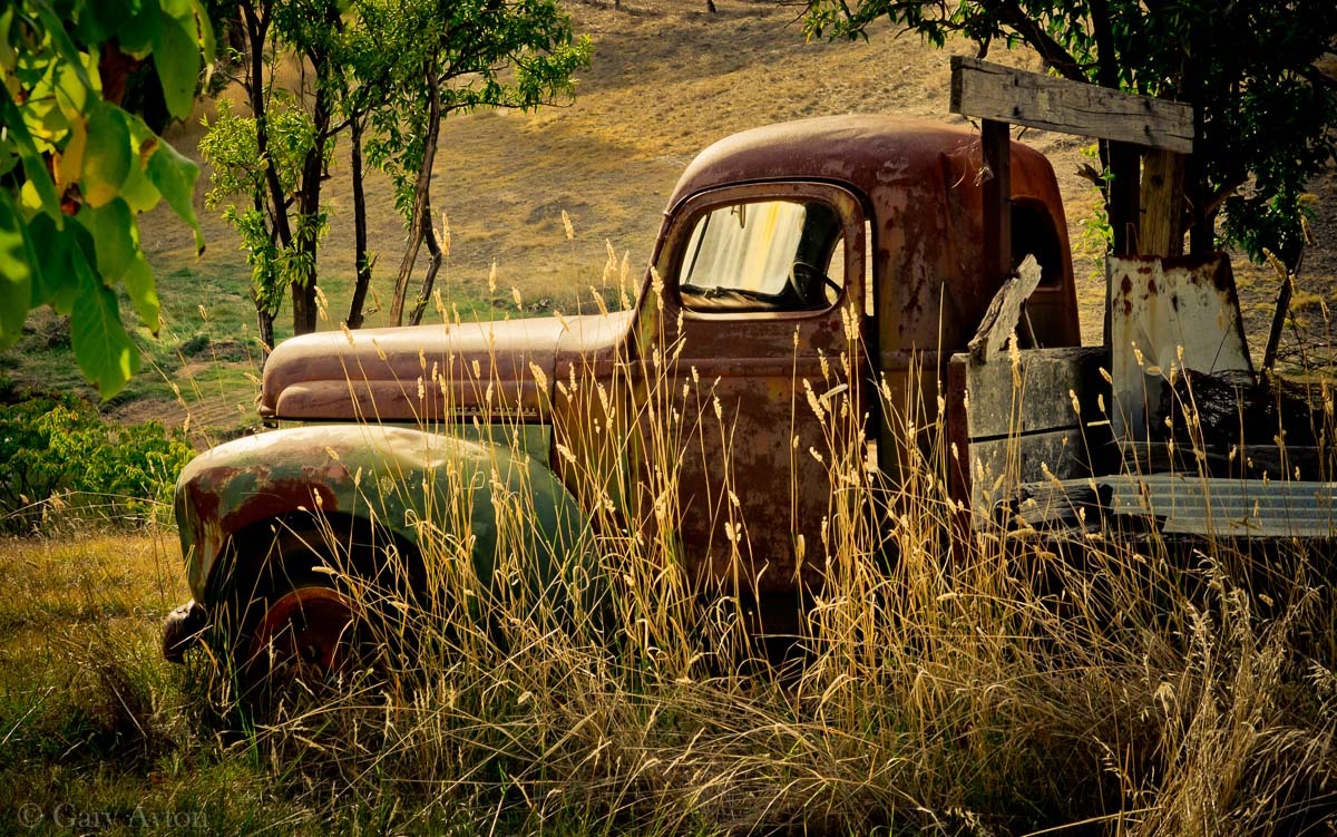
A derelict farm truck just north of Stone Hut in Wirrabara Forest Reserve:
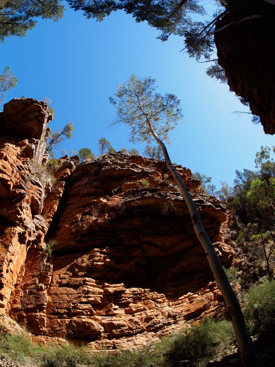
Alligator Gorge:
This was shot with the Samyang 7.5mm fisheye lens:
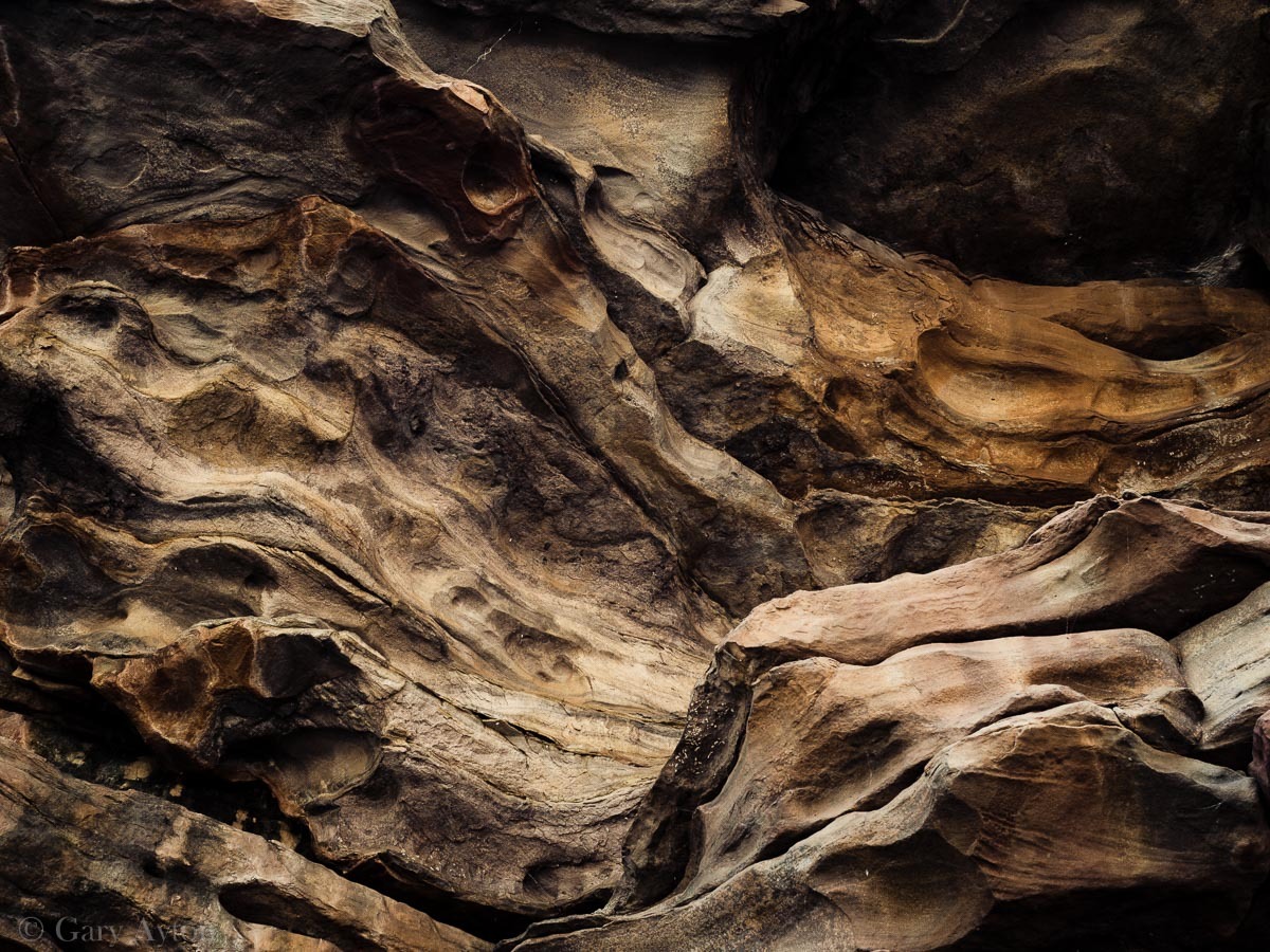
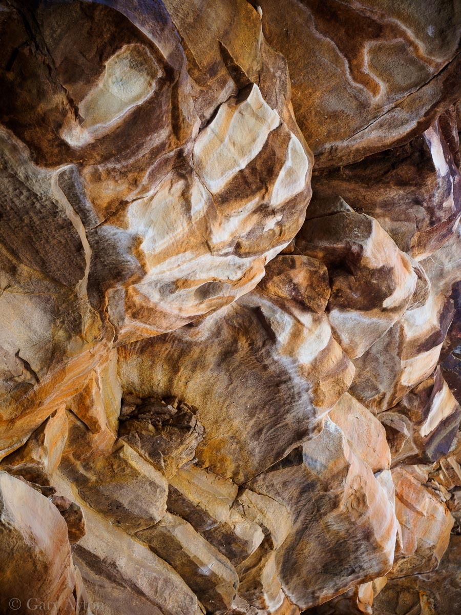
600 million year old sandstone patterns in the gorge walls:
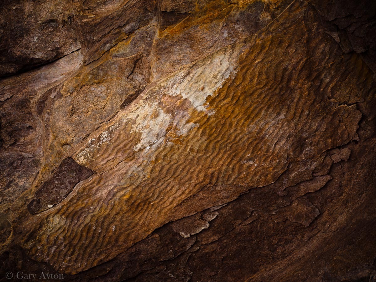
Fossilised water ripples in the sand on the ceiling of a rock ledge:
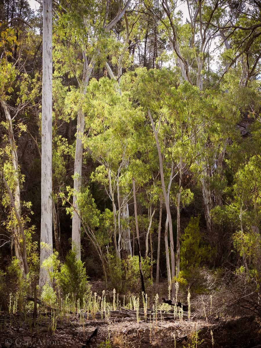
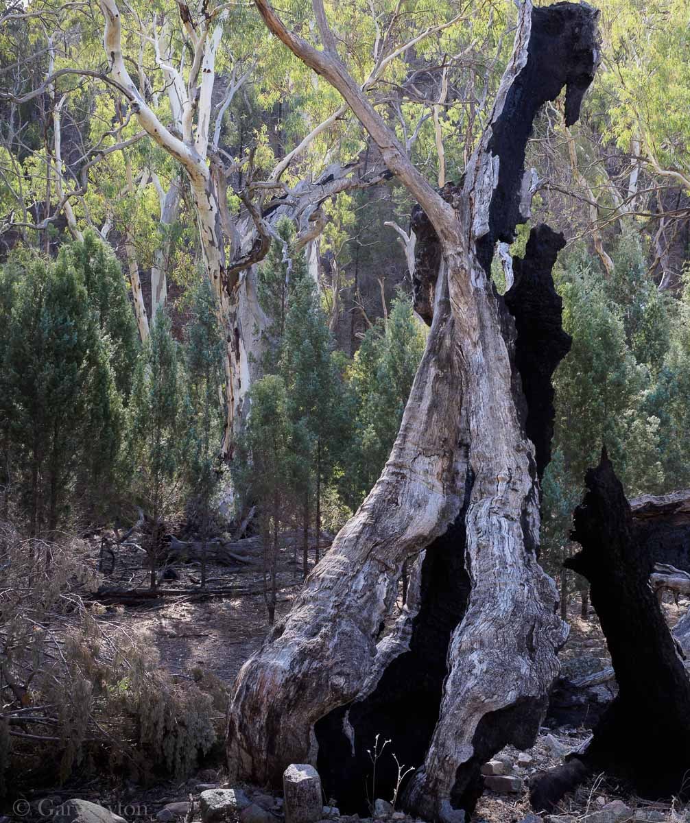
Mambray Creek bushwalks:
I did not get time to do the 7hr 18km Hidden Gorge walk which takes you through the narrow steep gorge, but did get to do the first 4km just before sunset.
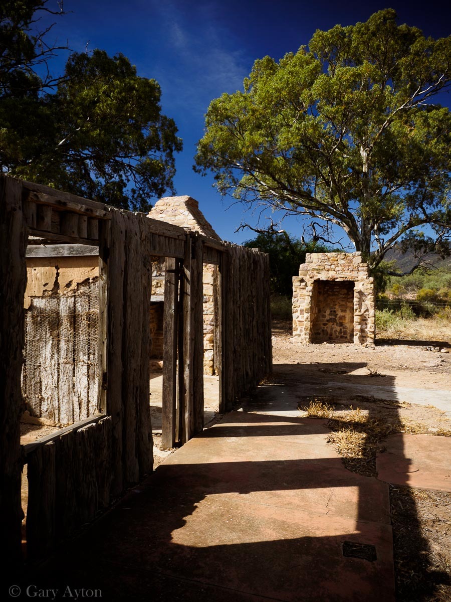
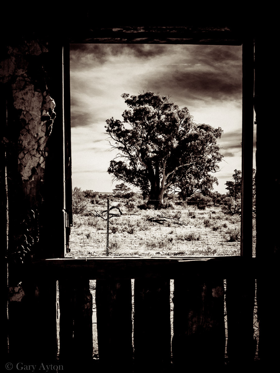
Baroota Cottage ruins at entrance to Mambray Creek camp ground:
After leaving Mambray Creek, I headed to the small seaside village of Port Germein which boasts the longest jetty in the Southern Hemisphere at 1.6km, but I needed to get a hamburger and get back to Stone Hut before dark as my rental car contract banned night driving and the drive through the narrow but pretty Port Germein Gorge Road had plenty of wildlife to miss.
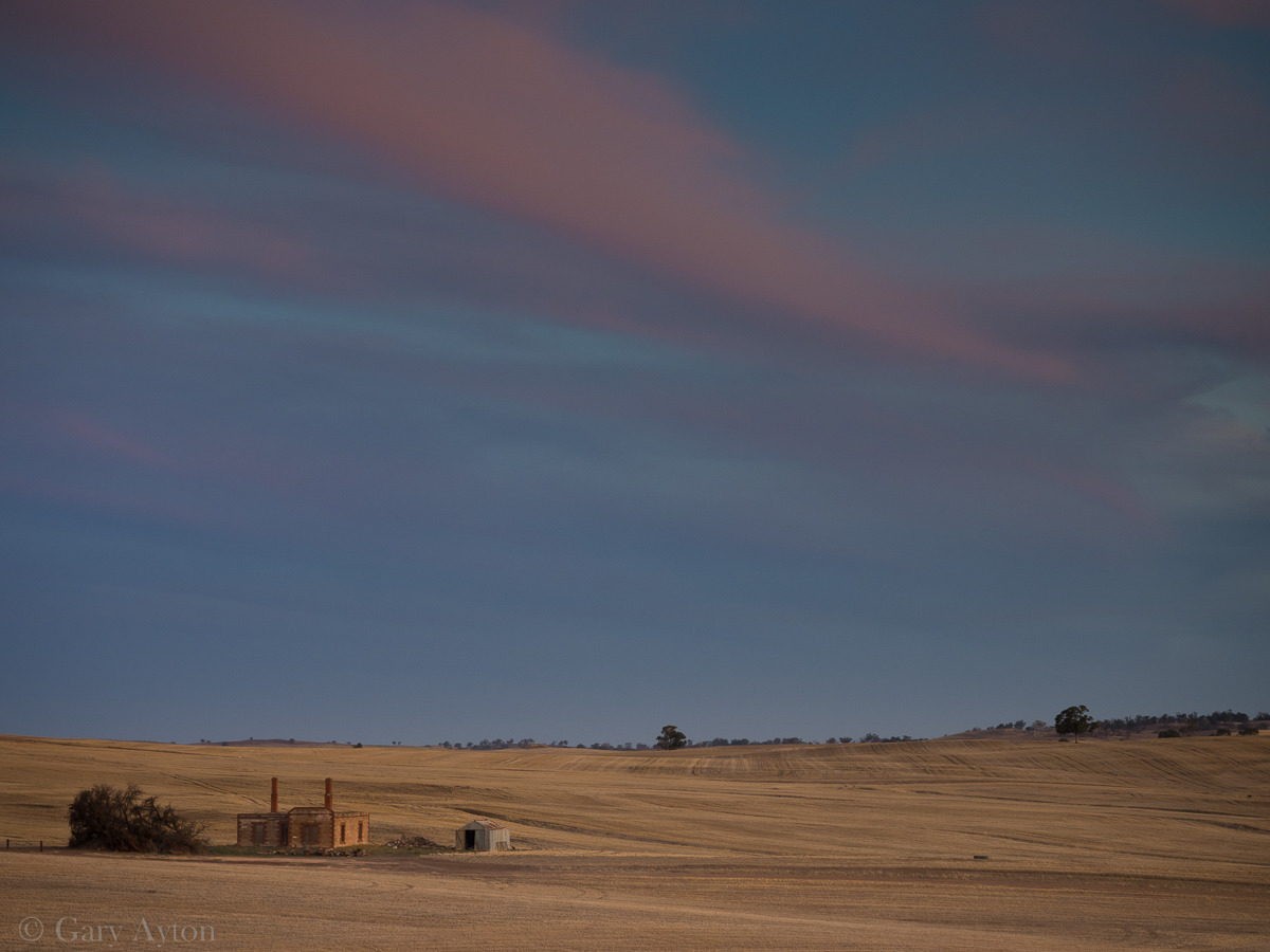
After getting through the gorge I came across this lovely stone farmhouse ruins with the last of the sunset colours as a backdrop:
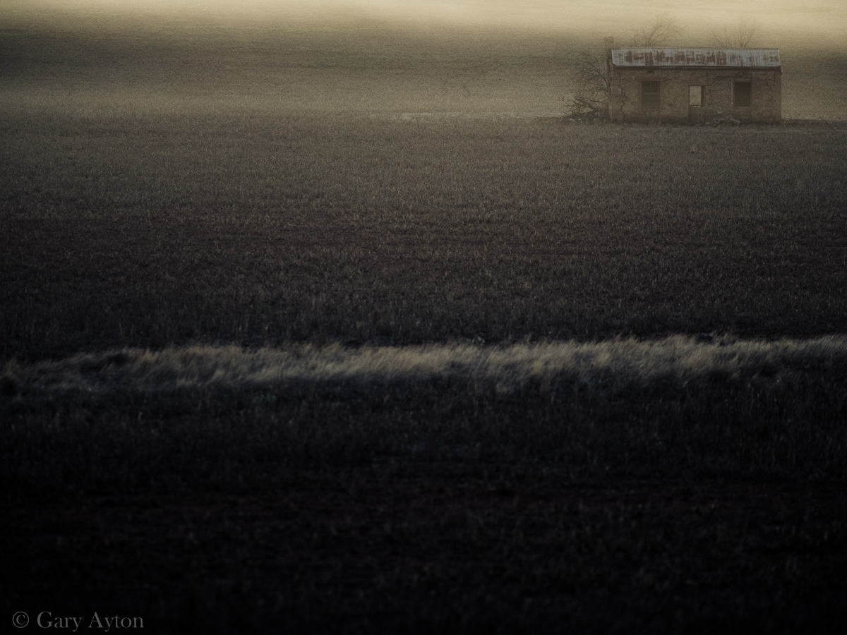
Just before getting to Stone Hut, and as the last light was fading, a small area of ground fog developed just at an abandoned cottage which I managed to capture hand held with the Olympus E-M1 with the brilliant Olympus mZD 75mm f/1.8 lens at 1/80th sec ISO 800:
As an aside, to capture this with a full frame Canon or Nikon dSLR, I would need to use 150mm f/3.6, ISO 3200 at 1/80th sec, and at this shutter speed even with OIS, I would not be confident of adequately eliminating camera shake, especially if using a 36mp sensor, and thus I would need to stop the car and get my tripod out, set the shot up, make sure it was level, and by this time the fog would have disappeared – as it was, I was very lucky to capture it with the dusk light backlighting it before it disappeared within a minute. This is the beauty of the Olympus OM-D system – light, fast, and hand holdable to much lower light levels without need to resort to a tripod.
Next stop will be my last of the South Australian road tour posts – off the beaten track into the desert near Burra.

