
australia:vic:mtsamaria
This is an old revision of the document!
Table of Contents
Mount Samaria camping and hiking
see also:
Introduction
- Mount Samaria is a rather remote forested mountain range north of Mansfield and has just one main road - a generally well graded gravel winding Mt Samaria Rd which runs roughly north-south and is NOT suitable for caravans or large vans
- there are various camping and hiking options with minimal facilities (drop toilets, fire pits and picnic tables)
- to the west of the range is the north-south aligned Nillacootie Dam
- to the east are a number of north-south aligned ranges towards Tolmie and culminating in the King Valley
Getting there
- the most southern part is the Blue Range picnic and camping area
- 14min, 14km north of Mansfield
- 20min, 19km west of Tolmie recreation reserve
- ~2hrs 40min and around 200km NE of the NW suburbs of Melbourne
- the first main stop on the northern part is Samaria Lookout
- 35min, 20km north of Blue Range picnic and camping area
- 20min, 18km SE of Swanpool
- 24min, 23km SW of Tatong Tavern
- 35min, 38km SSE of Benalla
Campgrounds in Mount Samaria
- Spring Creek Sawmill & Kiln Ruins Camp and Day Visitor Area
- this is a nice forest camp with toilets and start point for some bushwalks eg. up to the summit
- the best camp I found on Mt Samaria (ps. did not find Wild Dog or Camphora camp to compare)
- Blue Range Camping and Picnic Area
- offers a small, basic camp site of 3 fire pits - personally I would probably skip this one
- Toilet facilities are across the road in the picnic area which is quite nice and next to a nice stream (Blue Range Creek) which flows after rains
- 20km, 20min to the west via Bridge Creek
- elevation 400m
- Camphora campground Mt Samaria
- 32km, 41min via Blue Range camp ground
- elevation 830m
- just a roundabout around a tree at the end of a gravel side road with room perhaps for one tent, no toilets, no walks, no water - skip it
- hmmm… maybe I missed something - and only saw the roundabout and not the 150m walk-in campground?
- Wild Dog camping area
- missed this one too
Photos
from north to south along Mt Samaria Rd:
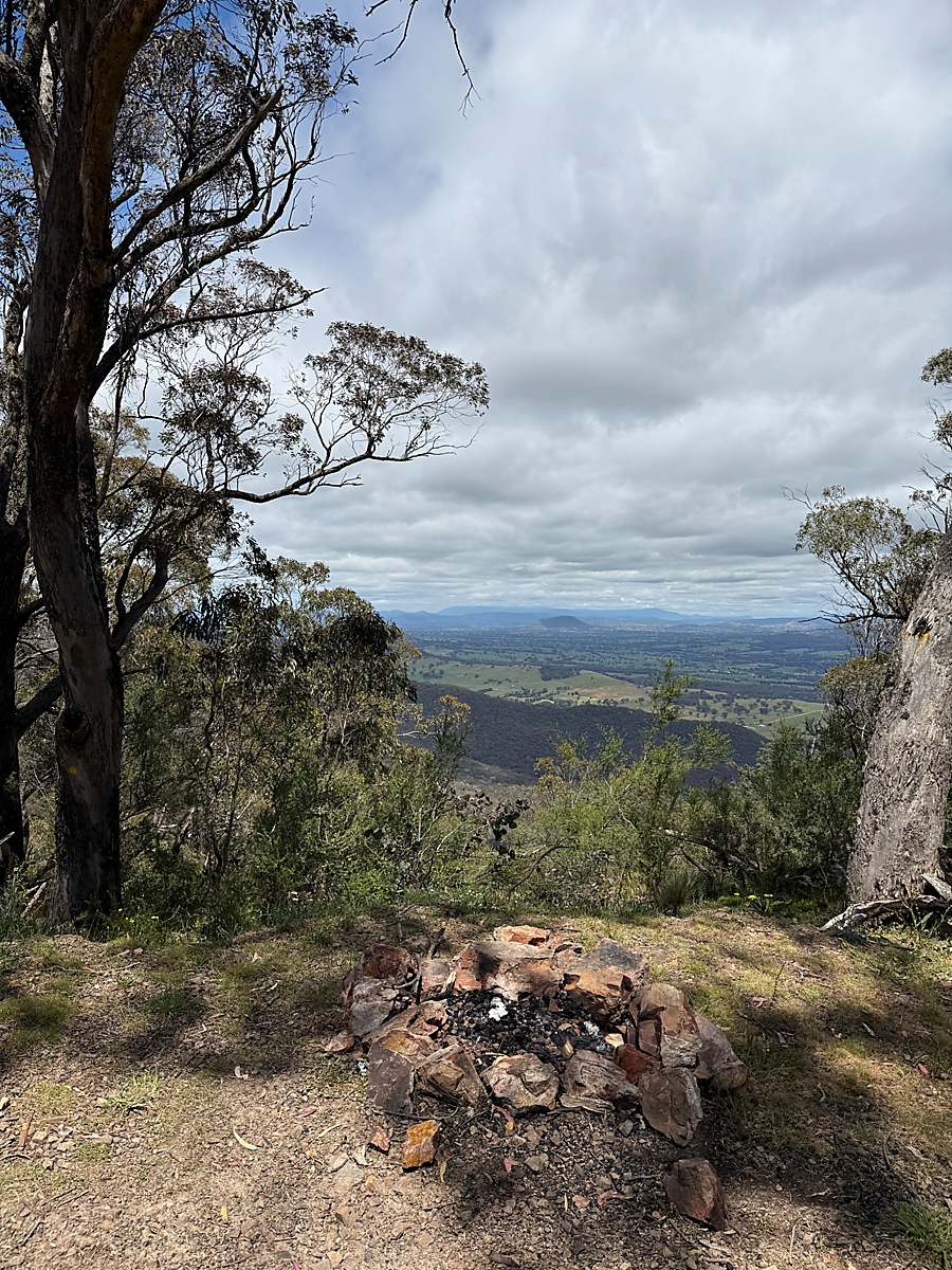 | 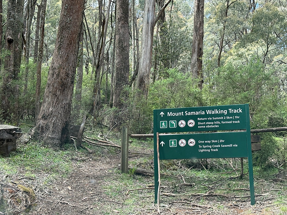 |
| Mt Samaria lookout tiny roadside bushcamp with a southerly view on a sharp bend | Nearby walk to summit |
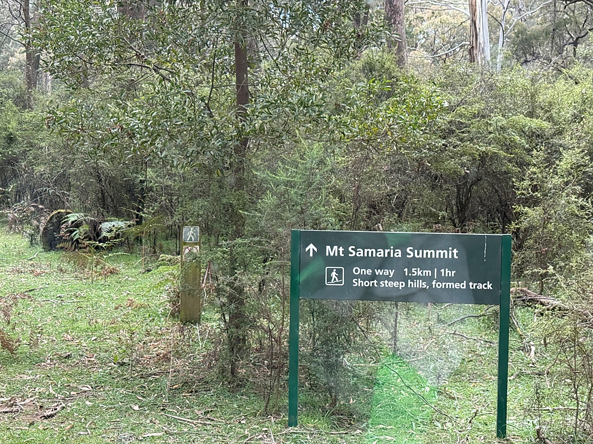 | 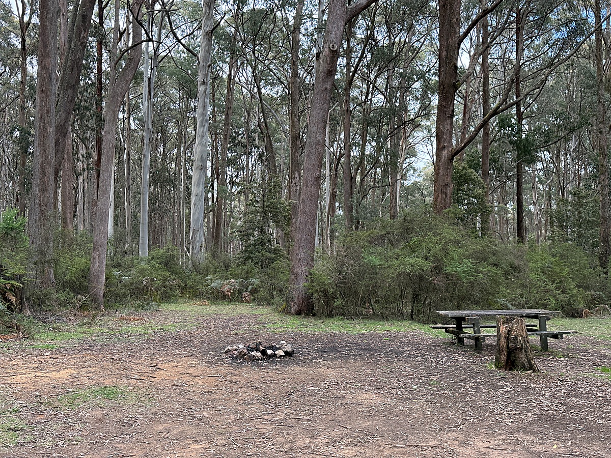 |
| Next option to walk to summit | Spring Creek sawmill camp ground |
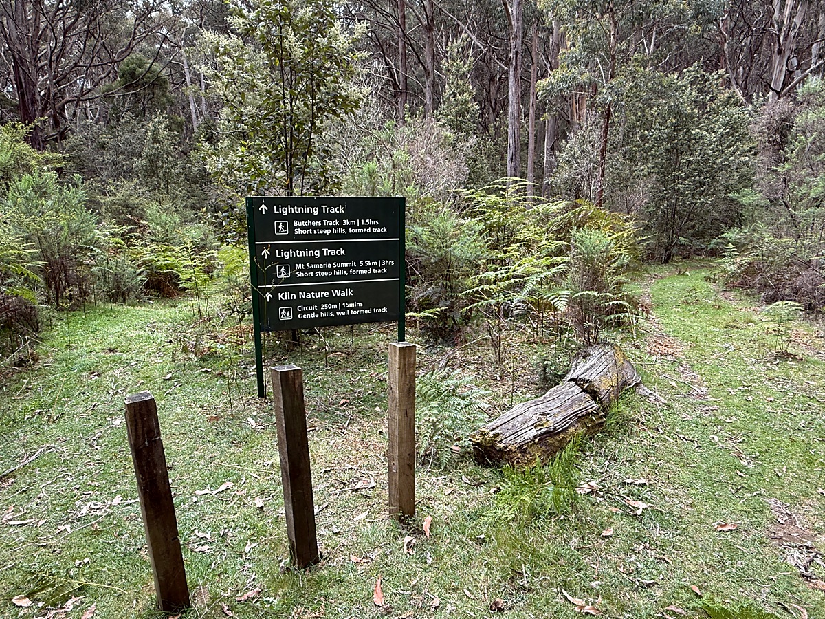 | 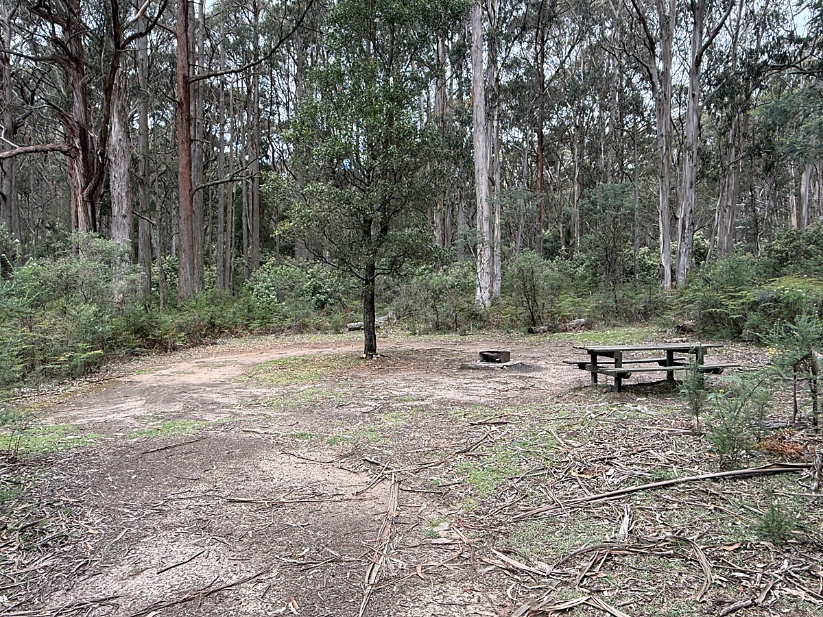 |
| Next option to walk to summit from Spring Creek sawmill campground | Spring Creek sawmill camp ground south site |
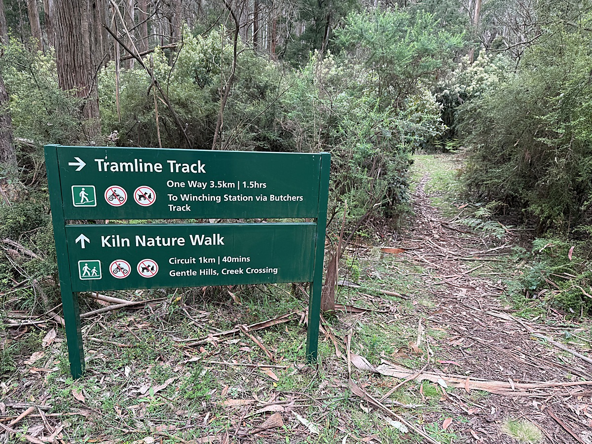 | 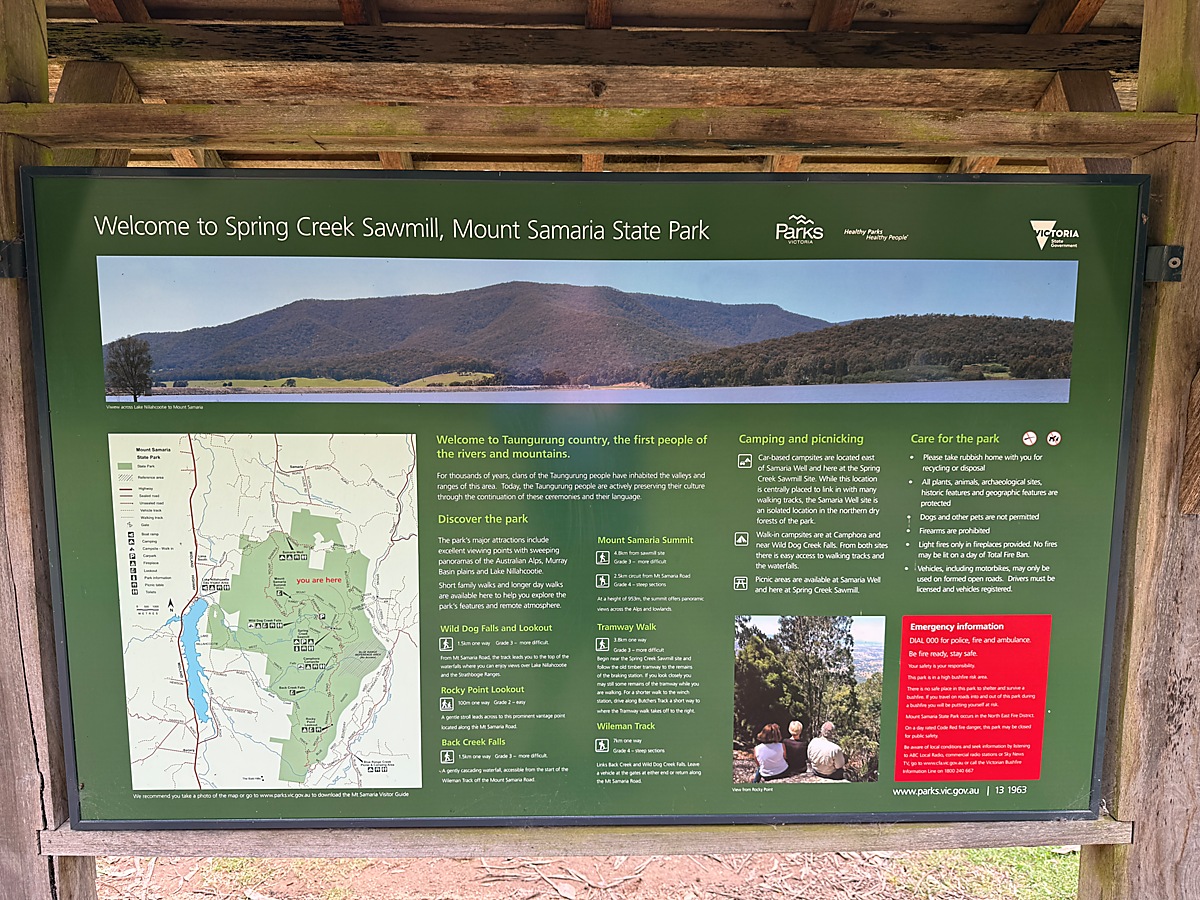 |
| Another hike option from Spring Creek sawmill campground | Spring Creek sawmill |
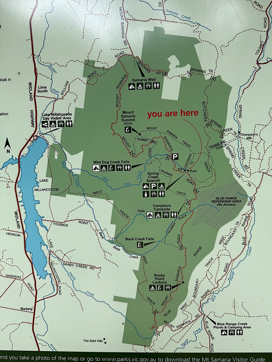 | 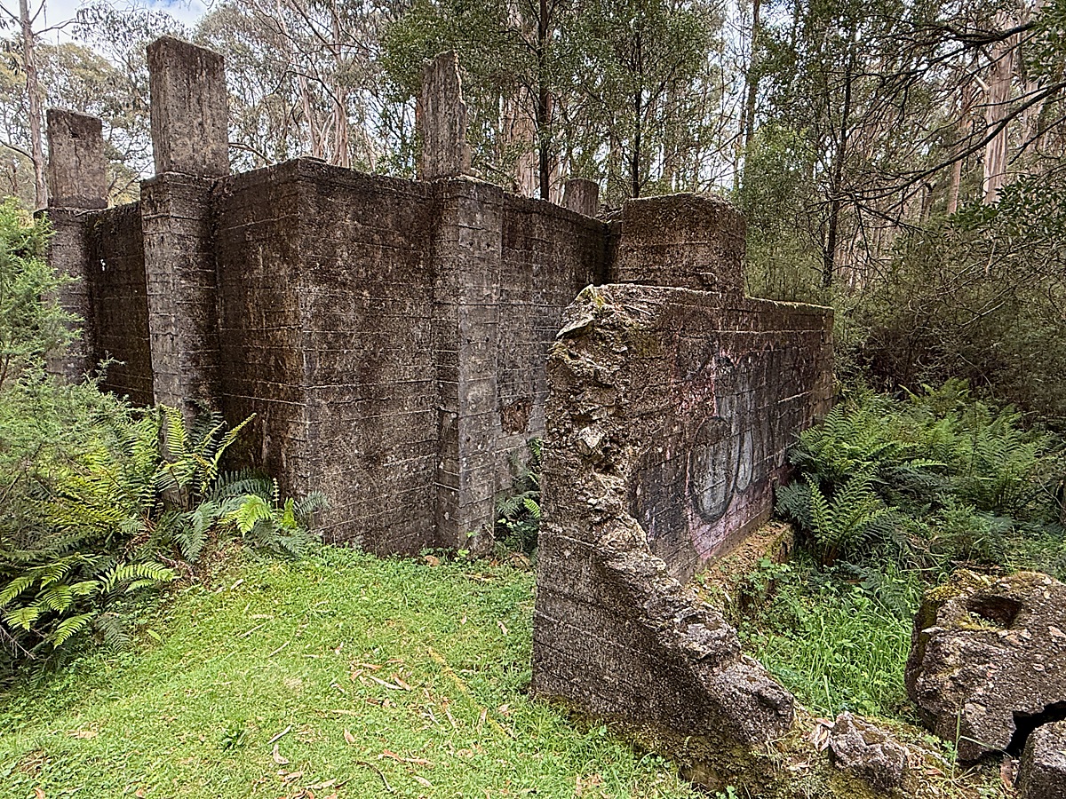 |
| map detail | Spring Creek sawmill kiln ruins |
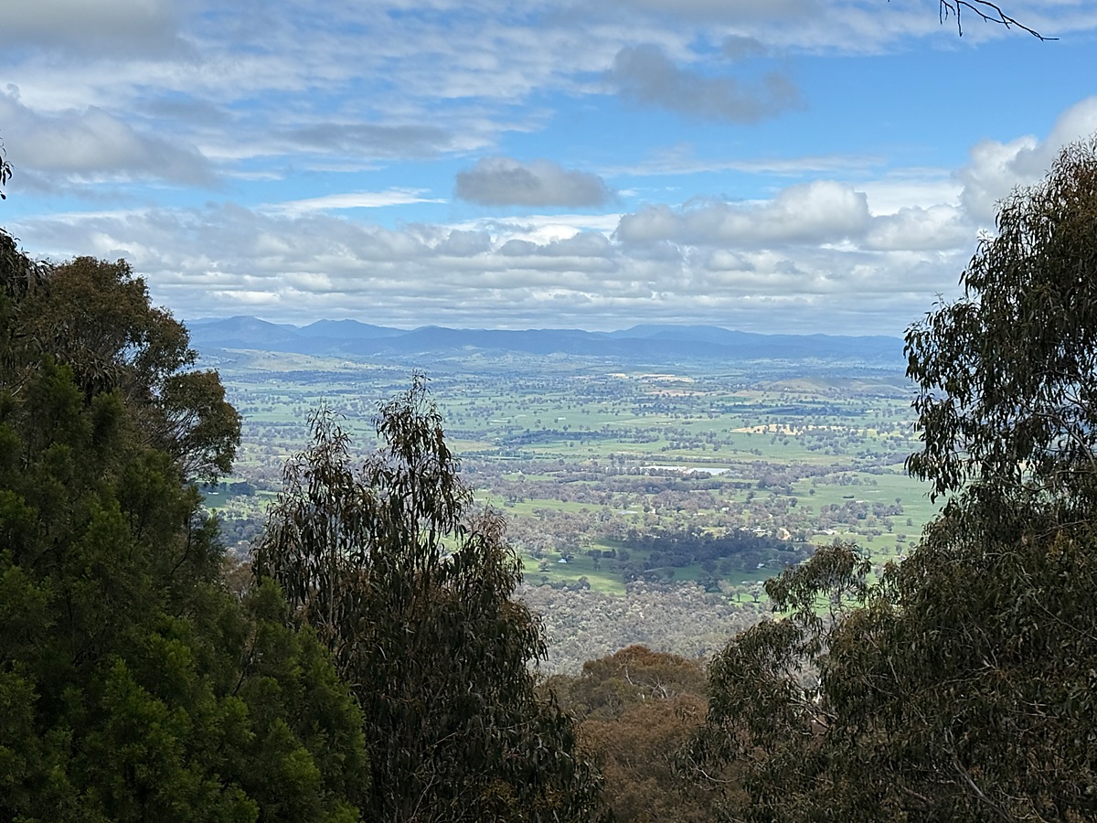 | 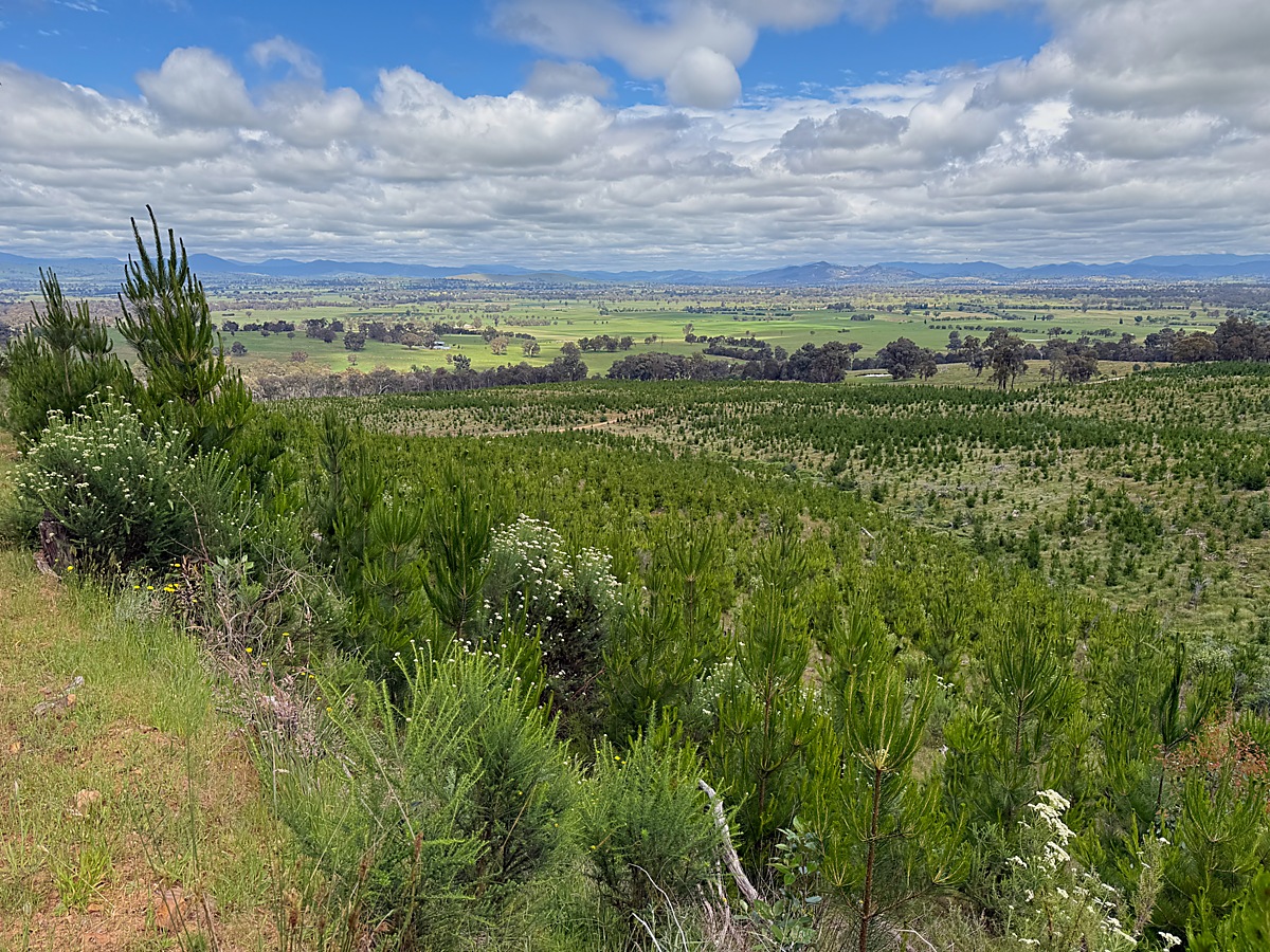 |
| View from Rocky lookout to east | View to south east coming down from Mt Samaria drive |
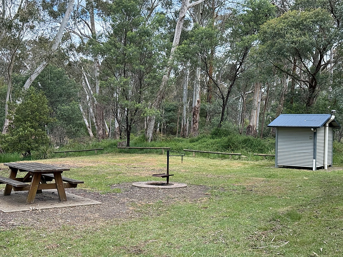 | 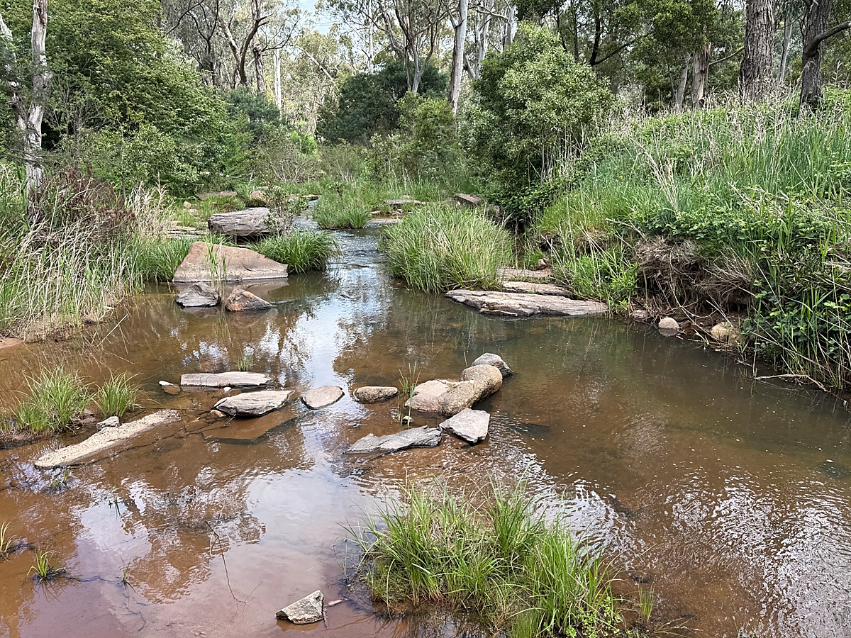 |
| Blue Range day picnic area | Blue Range day picnic area stream |
australia/vic/mtsamaria.1793789620.txt.gz · Last modified: by gary1