Table of Contents
Wilsons Promontory National Park - "The Prom"
- see also:
-
- now that you have to CHOOSE a site when you book, you really do need to have a bit of knowledge of the site and the expected weather conditions which can make it difficult, but at least now you are guaranteed that site and don't have to rush to get there in the old 1st in 1st served situation and I presume if its off-peak they would let you change sites if a site has not been booked
- elsewhere on the web:
- The Prom is one of the best places to go camping in Australia
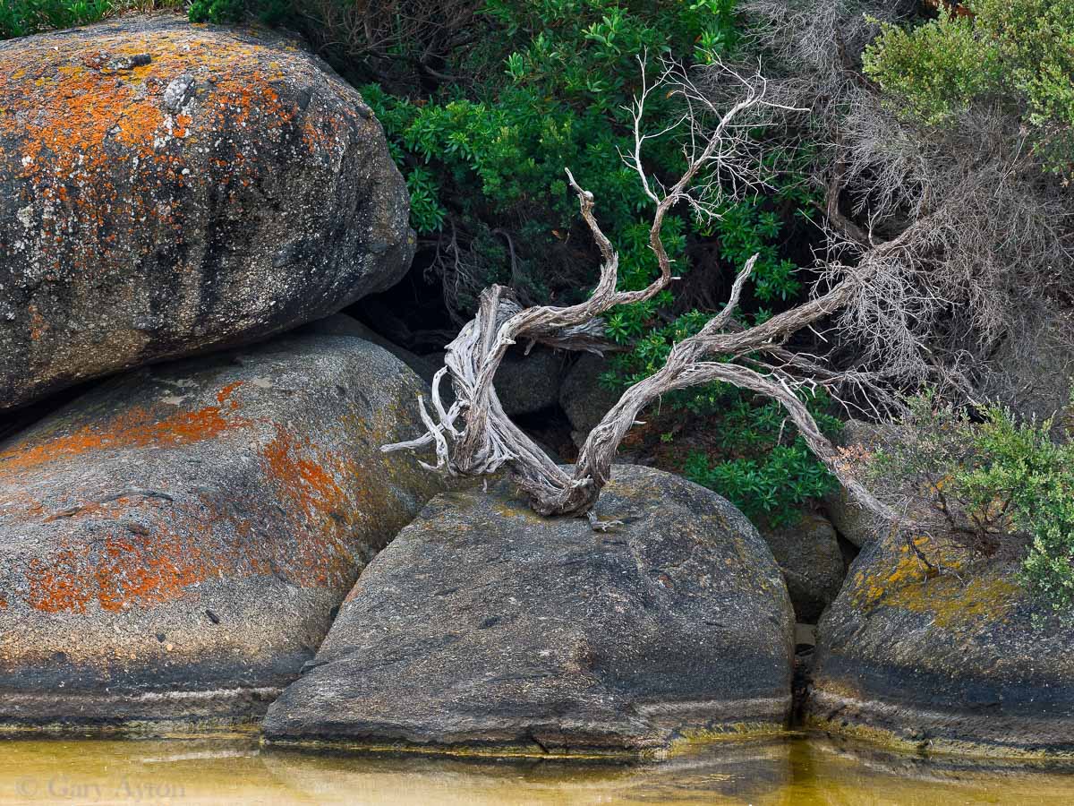
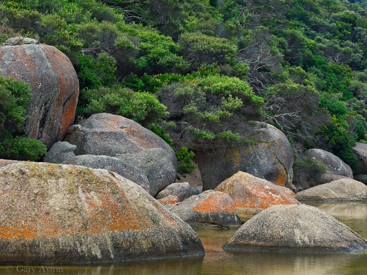
- relatively remote National Park with awesome picturesque beaches with beautiful boulders with orange colourations, lovely river and nice hikes
- get to see wombats, rosellas, blue wrens and other birds near your tent, kangaroos, wallabies, echidnas and emus at various parts
- great camping experience for those who enjoy hot showers, flush toilets, drinking water at the many taps near the tents, access to laundry and food shop (9am-4pm only though)
- nice big sand dune to explore (choose a day that is not too windy and not to sunny and hot)
- mild temperatures - rarely drops below 8degC overnight and rarely goes above 25degC even on summer days but it can be windy and wet and the water is generally cold
- even if it rains heavily, you don't get muddy camping and the sand means the water dries up within hours
- usually not many mosquitoes in the camp ground and the mosquitoes down there do NOT appear to carry any diseases such as Ross River, Japanese encephalitis or Buruli ulcer
- the beaches don't usually have a sand fly problem (but there are annoying march flies in summer as with most Australian beaches)
- as of 2022, its only $32-34 a night unpowered for up to 6 people, and an extra car is around $10/night
- unless you really, really need it or you like to be in that location as you have young kids, don't bother getting a powered site as these restrict your site selection options severely.
- the Prom is extremely popular on weekends (especially long weekends) and school holidays - you WILL probably need to book well in advance for these peak periods!
- this is especially true for Spring/Summer/Autumn weekends in camp sites from 20th Ave through to 34th Ave!
- school holiday bookings get released at start of June or July usually and tend to get booked out on day of release - there are minimum lengths of stay for school holiday periods and long weekend public holidays
- wood fires, pets, drones are not permitted as it is a National Park
- if the BOM forecast for the Prom is very windy (ie. gusts > 60kph) then make sure you take tent gear, guy ropes and large sand pegs that can cope with it (tarps should have reinforced rings rather than eyelets) and be aware that cheap gazebos, awnings and also budget tents with fiberglass poles (this break if wind bends them too much then they can tear the tent fly) may not survive
- strong SE/S/SW/W winds will generally be COLD and adversely impact beach activities but you can still go hiking or just chill out
- strong E winds are generally warmer but make for cloudy conditions and can raise up significant dust which can make it unpleasant in the west ends of 33rd and 34th Ave in particular
- strong N winds generally are not as strong as in Melbourne in the evenings due to the opposing afternoon southerly sea breezes
- the rear half of Tidal River (25th-34th Ave) camp sites may be closed over winter (check Bookings availability)
- bookings for Sept onwards generally open for bookings in the 1st week of July
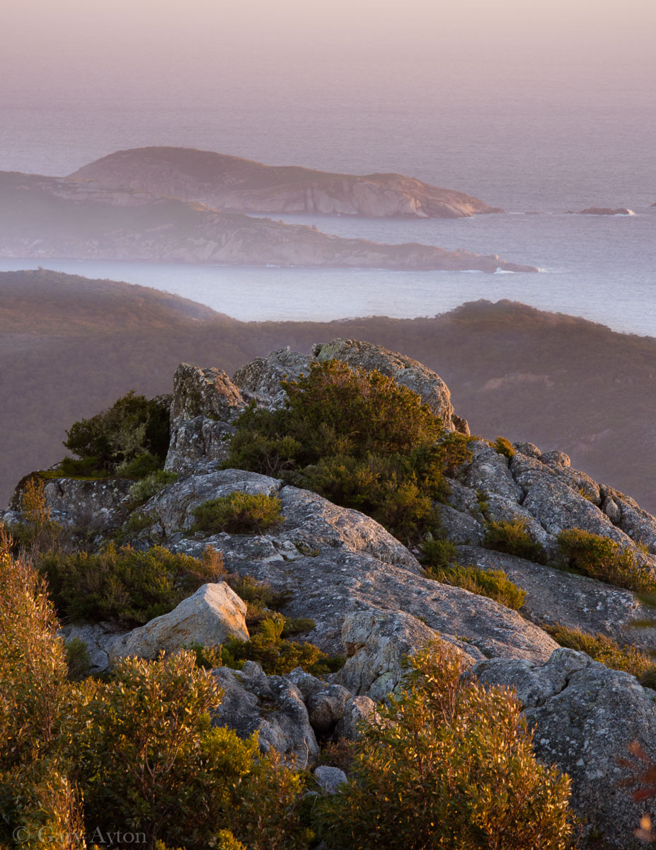
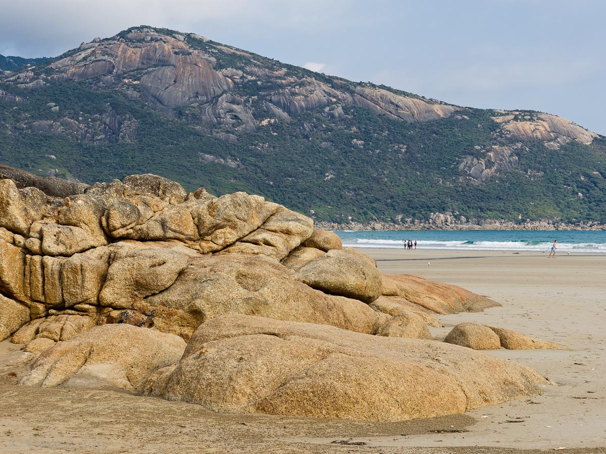
some of my pics
Introduction
- Wilsons Promontory is a wonderful, rather remote, protected southern coastal region in south Gippsland which abounds in native wildlife (especially kangaroos, wombats, coastal seabirds) with some of the most beautiful beaches you will walk on adjacent to forested mountains
- day visitors must leave the park prior to sunset
- all overnight visitors must pay a camping fee or book accommodation via the website
- the Tidal River camp ground has excellent amenities and over 400 un-powered camp lots BUT:
- these lots are likely to BOOKED OUT in peak periods such as school holidays and Easter - so you may need to book well in advance for these
- there are many local wombats who will destroy your tent if the smell any food or perfumes inside - you have been warned!
- Tidal River weather is more like Wonthaggi weather than “Wilsons Prom” weather on the BOM site as the latter reflects the much colder and windier weather station at the lighthouse which is on the southern tip. However, taking the average of the two stations is not a bad approximation.
- there is another camp ground near the entrance at Stockyard camp ground but with minimal amenities (no hot showers) but this is adjacent to the walk to The Big Drift sand dunes
- there are overnight walk-in only camp grounds which again must be booked in advance
Climate
- temperatures are generally cooler maximums and warmer overnight minimums than most places in Victoria due to tendency to have:
- more wind (even so, overnight temperatures can fall quickly by a few degrees if winds drop below 5kph and of course an Antarctic blast from a severe cold front will produce very cold nights)
- more cloud
- higher dewpoint
- proximity to Bass Strait water body
- local Fohn winds with easterlies
- the park is one of the windiest areas in Victoria, and being one of the most southern parts of Victoria, it tends to get cooler day time maximum temperatures (summer average high temperatures are around 20degC, with many days hitting 24-28degC) although record summer temperatures have been over 40degC
- the Bass Strait sea water temperature (western Bass Strait water temperature peaks in Feb at 18-21degC and falls to a low of 12-14degC in Aug-Sept while the eastern Bass Strait waters are 1-2degC warmer) moderates the lowest temperatures so average overnight minimums in summer tend to be 14-17degC and 9degC in winter although record lows in winter do fall to just below 0degC associated with very cold strong SW/S wind flows from the Antarctic associated with cold fronts.
- average overnight minimum temperatures at the lighthouse:
- Jan-Mar 14.5degC
- April 13degC
- May 11degC
- June 9.4degC
- July-Sept 8-9degC
- Oct 10degC
- Nov 11degC
- Dec 13degC
- mean rainfall is much higher May-Oct at around 100mm/mth (rains on 19 days/mth) cf 50mm/mth in Jan-Feb (rains 10 days/mth) while Mar, Apr, Nov, Dec are around 70mm (rains 12-14 day/mth)
- cloudiest months are May and June but they tend to be less windy
- coolest 3pm mean temperatures at the lighthouse are June-Aug at around 11degC compared with warmest in Feb at 19degC, Tidal River is probably around 1degC warmer in winter and perhaps 2-3deg warmer in summer
- beware La Nina and the easterlies
- Use of solar panels during easterlies is unlikely to be efficient due to the cloud, while the strong wind gusts can destroy more flimsy designs.
- a High pressure system (the higher the pressure, the stronger the winds are likely to be) in the Tasman Sea or centred over Tasmania can send relatively dry strong easterlies into Tidal River which are warmer and drier than usual by not only the eastern Bass Strait water temperatures being warmer, but also the topographic uplift of Mt Latrobe results in a mild Fohn effect creating warmer drier air on the leeward side often with persistent local cloud over Tidal River and converging gusting into Tidal River at around 21degC even overnight in Summer and Autumn, but these strong gusts make camping unpleasant by creating almost inescapable persistent dust bowls of much of the camp ground areas.
- strong easterlies also are created by Low pressure systems migrating from the north to be centred just to the north-east of the Prom - the more intense the Low, the stronger the winds are likely to be, and with these, heavy rain may also be an issue
- these easterlies are often maximal in late afternoon due to additive effects of sea breezes which increase gustiness
- when forecast easterly wind gusts at the Lighthouse are over 50-60kph, it is likely that camping will be very unpleasant with lots of raised dust and potential damage to tents and gazebos
- in La Nina periods in Feb-March can cause either:
- blocking Highs in the Tasman can result in low pressure systems in NSW from tracking eastward and these extremely moist and vigorous systems can then cause flooding in east coast of NSW then track down to eastern Bass Strait where they can then send very moist strong easterlies which may create major rain events (see below) with a easterly wind pushed leeward standing rain cloud over Tidal River such as the March 2011 and March 2021 rain events.
- Low pressure systems off the NSW coast pushing Highs south-eastwards over Tasmania and creating persistent strong dry easterlies as in:
- late Jan 2021 - caused hundreds of trees in the camp ground and adjacent walking tracks to fall over.
- early Feb 2022.
- beware the strong cold fronts and thunderstorms
- falling trees and flash flooding can occur, and in summer, lightning can create added danger of bushfires.
- a strong southerly can drop the temperatures to much below usual levels and can overcome the general stabilising effect of Bass Strait water temperature
- weather conditions can change quickly and showers and storms can impact your stay
- the cool sea breezes on a sunny day make it very pleasant but remember in Spring and Summer the UV index is likely to be high so you need sun protection and plenty of water to drink
- most of the rain falls over winter when it rains 19 days per month with a monthly average rainfall of 120mm
- it still rains in Summer but only on 10 days per month with a monthly average rainfall of 50mm
- Bushfires may impact the park
- there is only one road in or out!
- 13% of the park was burnt in 2005
- 25,000 hectares burnt in 2009 after a lightning strike near Sealer's Cove and burned to within 1km of Tidal River camp ground
- severe rain events leading to flooding may impact the park
- Tidal River camp ground was flooded in March 2011 (up to one metre of water inside the park’s information centre) and the bridge over Darby River was cut stranding 300 campers and requiring helicopter transport out (including 53 picked up from Sealers Cove) after a freakish storm (thought yo be a 1 in 3000 year event)1) delivered 370mm rain in 24hrs (Victoria's record is 375mm in 24hrs in the Otways in 1983, next highest is 318mm at Mt Wellington in 2007 due to an east coast low). A large land slip also resulted visible from the Lilli Pilli Circut Walk in addition to land slips on the Telegraph Road which was also lost in two sections. Loo-Ern track was destroyed and the cabins had to be re-built. Debris from flooding was on top of the railing of the pedestrian bridge at Tidal River. Tidal River and areas south of Cotters Beach were closed to public for months. 2)3)
- this event was associated with one of the strongest La Nina events and was caused by a low pressure system which was cut off in easterly flow in southern NSW on 21st March 2011 with an associated trough which extended southwards to Bass Strait and northwards to north-east NSW. The low had moved across south-eastern Sth Aust where ten locations had record March daily rainfall totals on 21st March. BY 22nd March, a low pressure centre had developed in the trough in western Bass Strait as the initial low moved to southern NSW bringing very heavy rainfalls to the southern NSW coast including Merimbula where the nearby Mt Darragh recorded almost 400mm in 24hrs on 22nd March. The two low centres were linked by the trough. During this period a mesoscale low developed 70km south of Lakes Entrance creating a vigorous and deep moist gale force easterly flow to be incident on Wilsons Prom's steep north-south terrain (Mt Latrobe elevation 754m is 5.8km to the ENE of Tidal River and causes steep topographic uplift of an easterly with the resulting standing wave of cloud formation able to be shifted leeward in very strong easterly winds and result in maximum rainfall on the leeward side and thus impacting Tidal River instead of the usual impacts on the east side - Sealers Cove only had 70mm rain. The east-west orientation of the valleys has potential to create convergence and greater uplift.) until this low tracked south of the Prom on the morning of 23rd March. Tidal River was hit by three separate periods of 3 hour rains within the 24hr period, each totaling over 100mm occurred. This rain event also impacted north-east coast of Tasmania with Gray recording 327mm on 24th March.4)
- Tues 23rd March 2021, a similar rain event caused by a blocking High pressure system in the Tasmania creating a Low trough in eastern coast of NSW causing extreme flooding and then developed into a blocked low which travelled south to a few kms east of the Prom resulting in over 100mm rain in 2hrs at lighthouse with winds next evening gusting over 130kph. In 2 days, Tidal River recorded some 230mm rain and lost perhaps 6-10“ of beach sand although the high tide at time of highest wind gusts seem to have protected most of the beach. The Park was closed for 2 days.
Getting there
- distances to Tidal River camp ground:
- at 225km from Melbourne, it usually takes about 3hrs drive outside of peak traffic times, one could add 40-60 minutes if in peak traffic times
- Korumburra is 1hr from the Park entrance and is often a good spot to pick up lunch at the bakery en route;
- best spots to pick up petrol on the return trip back to Melbourne are Leongatha (but you can also get it at Korumburra, Yanakie, Fish Creek, and sometimes open at Meeniyan)
- Foster is only 10-11 minutes from the Park Entrance and has a good range of shops, food markets and pub
- Tidal River is some 25 minutes past the Park entrance
- it is 93km from the coastal beach holiday town of Inverloch and takes 1hr 20min via Fish Creek
- it is 37km from the tiny “town” of Yanakie just before the entrance gates to the Prom and this part will take you 40min during daylight hours (max. speed limit is 80kph as risk of tourists and wildlife), and this road is NOT recommended after sunset due to the numerous wildlife that you run the risk of hitting or they running into your car - if you must travel after sunset, reduce speed to 60kph.
- Tidal River camp ground is as far as the car can take you (apart from the drive up Mount Oberon)
Camping
- ALL camping must be booked and summer weekends tend to be booked out in advance for several weeks while school holidays generally require many months advance booking - often via a ballot system
- strong winds are common if there are easterlies or a cold front is coming so avoid cheap gazebos and budget tents if these are forecast to be over 50kph gusts or there is heavy rain (the weight of water trapped on top of a gazebo can compromise the gazebo)
- Tidal River campground:
- this is the main camp ground and has some 450 unpowered camp sites but these are often fully booked on summer weekends, long weekends and in peak school holiday periods you will need to be in a ballot to get a spot perhaps 6 months in advance
- nice facilities with hot showers, laundry with power points, coin washing machine/dryers and the water from the many taps is potable
- small general store and take away has very limited hours - usually 9am-4pm or so pending on season.
- it is the base for most of the overnight walks - each require booking!
- wombats may damage tents if you leave food in them and will wander into tents and vans if you leave the door open
- minimal mosquitoes or march flies in most parts of the camp ground (although the closer to the beach potentially the more march flies in summer)
- families are generally best suited to be near the Tidal River part of the camp which is closest to the shop, outdoor cinema and the better toilet and picnic amenities and there are also limited powered sites in this area but these are usually booked out weeks in advance
- adults without kids generally prefer the surf area at the back of Norman Beach (34th and 33rd avenues)
- the far east end does have peaceful tiger snakes looking for food through the brush adjacent to vacant camp sites during the day so not the best area for children who run around exploring (they don't come out at night unless it is a hot night)
- those with large vans will probably want to avoid 33rd Ave as it is a dead end and turning around can be challenging
- some sites are prone to flooding after heavy rain, in particular sites 329 and 324 in 33rd Ave
- school camp areas occupy the space between these areas
- Stockyard campground
- this is at the entrance of the park near the Big Drift walk and has cold showers and water is not potable
Wildlife
- once in the National Park, drive carefully to avoid creating road kill or having an accident to avoid it!
- kangaroos and wallabies are generally active at sunrise and at dusk and are particularly numerous in the north parts such as the Five Mile Road area at these times
- en route to Tidal River, there is a wildlife viewing area on the left which offers a flat easy walk to view emus primarily, and you may also be lucky enough to spot an echidna grazing on the side of the road
- occasionally you may see a tiger snake or copperhead snake on a walking track - these are venomous don't go near them and don't accidentally step on them! You may even see one in the dry creek valleys within the camp ground but thankfully they do not seem to go near campers or their tents.
- within Tidal River campground
- wombats are generally seen grazing - do not have food or smells in your tent as they are likely to destroy it, otherwise they are very placid and used to people and will walk very close to you and your tent to check you out at night.
- wallabies are common in the camp ground and usually are not too easily startled as you walk by slowly
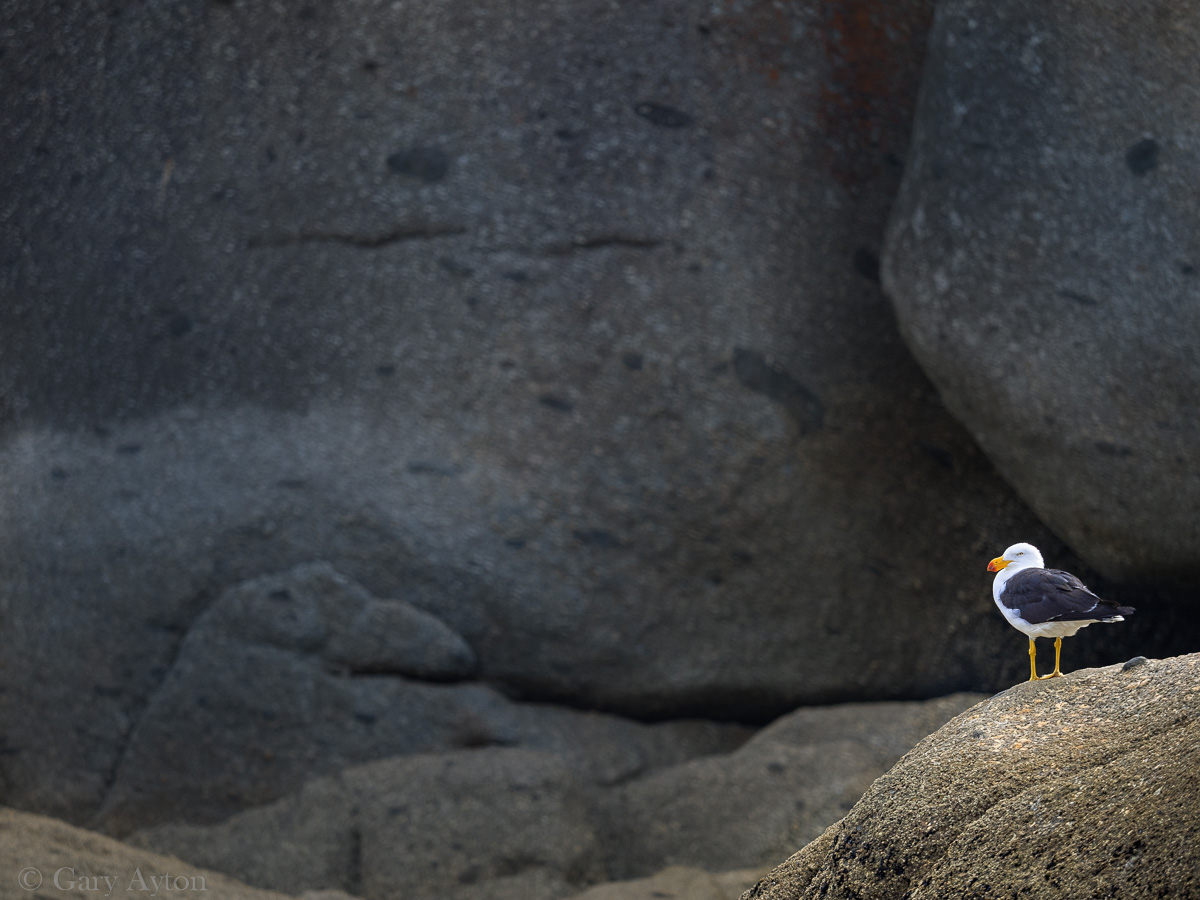
- birds include rosellas, green parrots, blue wrens, red wattle birds, sea terns, sea gulls - all of which are very used to people and will take you food within a minute if you turn your back, or, can accidentally create havoc by landing on your frying pan handle and overtipping it. They can be aggressive and come from behind to knock your hamburger out of your hands as you take a bite!
- tiger snakes explore the east end of 33rd and 34th avenues in the brush around vacant tent sites during the day (they only come out at night in hot weather which is rare at the Prom), and may be seen near the Tidal River bridge - unlike most areas, in Tidal River camp ground they seem to be not afraid of people and are becoming more bold as they search for food so keep a lookout for them at all times - a man was bitten in Tidal River campground Jan 2025 when he was chatting to friends 5)
Best beaches
- NONE are surf patrolled beaches and they all have strong currents so take care
- in Summer biting March flies can be a nuisance so avoid dark clothes, bring an insect repellent or just kill them as they land on you - these are generally confined to the beaches but the occasional one may be found in the camp grounds
- fortunately sand flies do not seem to be a problem whereas they are a major problem at nearby Sandy Point
- blue bottle jellyfish frequently end up beached and can cause a sting if touched
- mosquitoes tend not to be problematic in the Tidal River camp ground but can be problematic on hikes in the forested areas, but fortunately these do not yet seem to carry nasty viruses
accessible by car
- the beaches from Norman beach northwards to Whiskey Bay can all be walked to from the Tidal River camp ground
- Norman Beach - the long surf beach at the Tidal River camp groud
- Tidal River camp ground beach
- Squeaky Beach - long beach with awesome sand and lovely rock formations and a creek
- Picnic Bay long cove best accessed from Whisky Bay car park
- Whisky Bay - lovely short beach with lovely rock formations and a creek, can walk up to a lookout and then to Picnic Bay beach
- Fairy Cove lovely secluded NW facing beach - 45min hilly walk to get there from Darby River car park
- Darby Beach - less crowded, but not as picturesque, tends to have the most march flies in summer
- Cotters Beach - much less crowded, only a small car park which is quite isolated, but it is a very nice expansive beach at low tide and you may see swarms of soldier crabs doing their thing. You can take a nice long walk along the beach southwards to Darby beach.
by overnight hiking
- see overnight hiking
short walks
- Mount Oberon
- a must do for sunset views
- drive to the car park (“Telegraph Saddle”) HOWEVER on weekends and peak periods the Telegraph Saddle car park is CLOSED and instead you catch the shuttle bus from Tidal River
- a 1hr, 3.4km, 359m ascent, relatively steep walk to the top where it will be windy and cold - bring jacket, and gloves as well as your camera!
- bring a torch for the walk back
- The Big Drift
- massive sand dunes takes ~20min walk to get there from Stockyard Camp
- avoid in hot sun or very windy conditions
- Lilly Pilly Gully Circuit
- pleasant walk on relatively level ground but can be continued as a more strenuous circuit walk which ascends perhaps half way up Mt Bishop - personally I prefer just doing the Mt Bishop walk rather than the Lilly Pilly circuit walk
- Mt Bishop
- highly recommended walk which gives a surprisingly gentle and relatively protected ascent to some really nice view across Tidal River, Squeaky and Whisky Bay beaches.
- Coastal walks connecting the west beaches
- Darby Saddle Lookout walk
- Prom Wildlife Walk near the airport - emus
- Cotters Lake Track flat walk to the rather isolated Cotters Beach (best at low tide)
Overnight hiking
- these MUST be booked well in advance usually
- BRING your own water, food, camp gear, etc
- the most venomous snakes in the world can be found on these tracks, take care and take first aid and preferably a EPIRB
Southern circuit
- the most popular overnight hikes which start from Mount Oberon carpark (“Telegraph Saddle”)
- on weekends and peak periods the Telegraph Saddle car park is CLOSED you catch the shuttle bus from Tidal River - pick up from Overnight Hikers carpark
- the full circuit takes 4-6 nights
- A free half hourly shuttle bus operates between Tidal River and Telegraph Saddle during the summer and Easter school holidays and on weekends from November to April. Departure points include the Tidal River Visitor Centre carpark, the overnight hikers carpark (Tidal River) and Telegraph Saddle carpark.
- Oberon Bay
- Sealers Cove
- Roaring Meg
- Refuge Bay
- Lighthouse
Northern circuit
- Barry Creek
- Five Mile Beach
- Tin Mine Cove
- Johnny Souey Cove

